Description
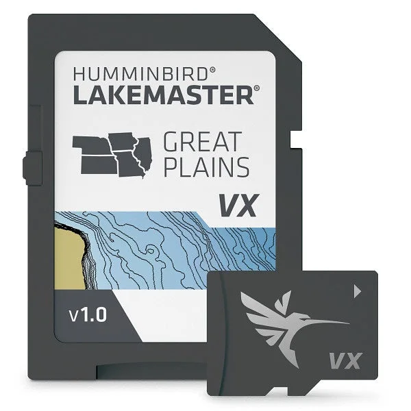
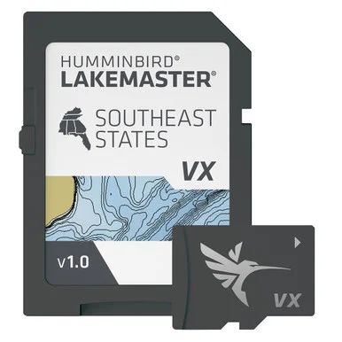
Eliminate guessing on the water and pinpoint high-yield fishing zones instantly with this advanced digital navigation chart. Operating on a powerful VX Technology engine, it delivers rapid map loading speeds and customizable color palettes across the Great Plains region. Equipped with an adjustable 0 to 60-foot shallow water shading feature and real-time water level offset synchronization, it ensures safe navigation and precise depth tracking in demanding freshwater lake and reservoir environments.
Ideal Applications
-
Precision Freshwater Fishing
-
Shallow Water Navigation
-
Multi-Device Network Integration
-
Tournament Trail Mapping
-
Hazard Avoidance and Safety Tracking
Reviews
There are no reviews yet.